Yang — find, plan and book EV charging with confidence
An Android app that helps EV drivers find nearby chargers on a map, plan charging stops along a route, and check connector type, price and availability before they drive.
Deliverables
Android App
Platform
Google Play
What we did
Mobile app development
The Challenge
EV drivers deal with range anxiety on two fronts: finding a charger nearby in daily driving, and planning ahead for longer trips where a wrong turn can mean running out of charge between stations. The app needed accurate map-based discovery, a way to plan charging into a route in advance, and enough station detail (connector type, price per unit, live availability) that a driver can trust it before detouring.
The Solution
We built a location-aware Android app on Google Maps with two complementary flows: a nearby-search view for everyday charging, and an en-route planner where a driver enters a starting point and destination to surface charging points along the way. Each station page shows connector type (e.g. CCS2), per-unit pricing, live availability, nearby amenities, and lets the driver get directions or book a slot directly.
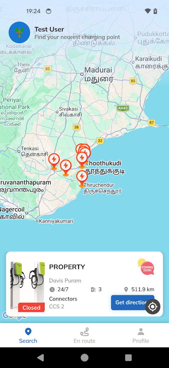
Chargers on the map, closest first
The Search tab opens on a map of nearby charging points, with a card for the selected station showing its hours, connector count, distance and a Get directions button.
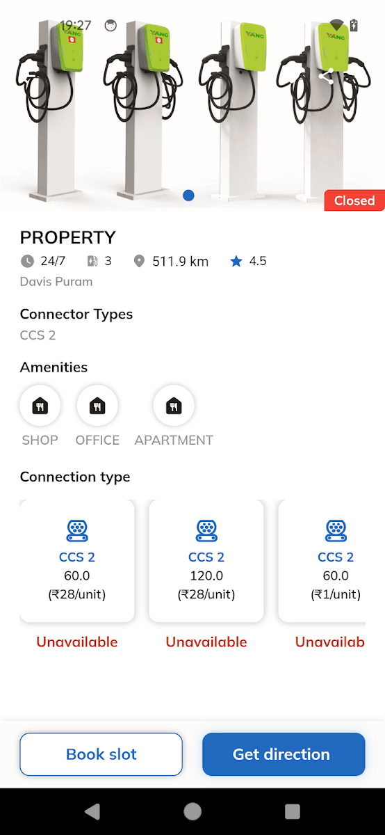
Everything you need before you detour
Each station page shows open or closed status, connector types, per-unit pricing, availability and nearby amenities, with Book slot and Get direction actions at the bottom.
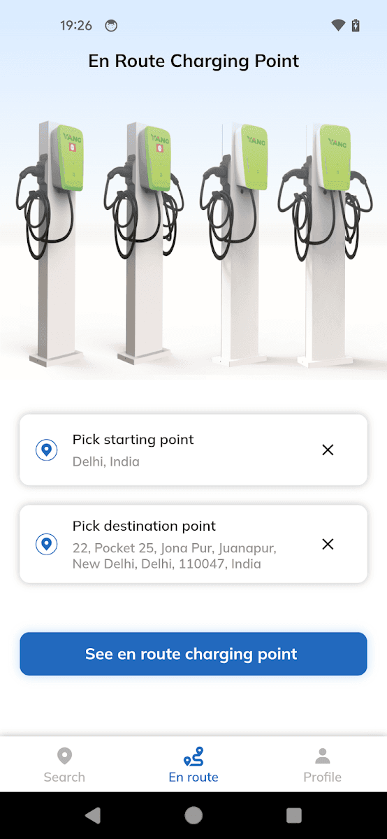
Plan charging along the route
On the En route tab, pick a start and a destination to see charging points along the way, so longer trips don't depend on luck.
At a Glance
Range anxiety, answered before the trip
50+
Downloads on Google Play
3
Core flows — Search, En route, Profile
CCS 2
Connector details & per-unit pricing
Status
Open, closed & availability per station
Key Features
Tech Stack
Looking for something similar?
Building a mobility, maps or booking app? We'd love to help you ship it.
Start a Project